
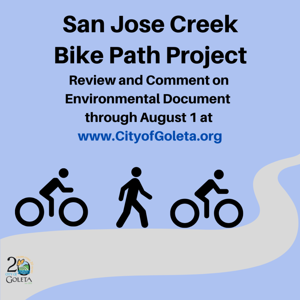
Environmental Document Available for Review/Comments Until August 1
The long-awaited, much anticipated San Jose Creek Bike Path Project (Project) has reached the next stage in the process. The public is now able to review the environmental document for the project and provide comments until August 1, 2022, at noon. The San Jose Creek Bike Path Project is an important component of the City’s Bicycle and Pedestrian Master Plan as it will provide a critical connection between existing bike routes north of U.S. 101 and the Atascadero Creek Bike Path to the south. In particular, it will connect bike routes north of Calle Real all the way to the Coast Route, that connects to Goleta Beach, UCSB and into Santa Barbara.
The document is available here on the City’s website. Please submit your public comment via email to Laura Bridley (LBridley@cityofgoleta.org) AND Teresa Lopes (TLopes@cityofgoleta.org). Comments can also be mailed to the City of Goleta ATTN: Laura Bridley and Teresa Lopes, 130 Cremona Drive, Suite B, Goleta, CA 93117. All comments must be received no later than Monday, August 1, 2022 at 12:00 p.m.
Goleta Public Works Director Charlie Ebeling said, “The San Jose Creek Bike Path Project was envisioned before the City was incorporated more than 20 years ago. We are excited it is back in the spotlight and ready for public input once again. This is a complex project that has involved close coordination with various agencies including Caltrans and the County of Santa Barbara. When complete, the project will be an incredible asset for our community and will make it easier for pedestrians and bicyclists to get around.”
The Initial Study-Mitigated Negative Declaration (IS-MND) environmental document for the Project describes the detailed improvements that will be made to the City’s transportation system. It also discusses the possible environmental effects of building this nearly 1.5-mile route, along with comprehensive protection measures and construction management strategies.
Here is what the plan entails: The new path will include space for bicycles and pedestrians beginning on Calle Real, proceeding under the U.S. 101, and continuing along San Jose Creek through Armitos Park and Jonny D. Wallis Park in Old Town north of Hollister Avenue. The route will then pick up on Kellogg Avenue, and cross over State Route 217 (Ward Memorial Boulevard) on a 350-foot long 12-foot wide bicycle/pedestrian bridge. The path then lowers to align adjacent to State Route 217, separated by a 2-foot concrete barrier and bicycle/pedestrian rail to separate users from the roadway. At the south end of the project, the bike path will continue under State Route 217 in a newly constructed box culvert, and daylight again on the southeast side of the highway to connect to the existing Atascadero Creek Bike Path. A project map is available here.
After this public comment period on the draft IS-MND, the Project will be scheduled for review and approval by the City Council, anticipated in September 2022. Following the City of Goleta approval, the project will proceed to the California Coastal Commission for permitting in accordance with the State Coastal Act.
For more information contact Teresa Lopes (Tlopes@cityofgoleta.org; 805-961-7563) or Laura Bridley (LBridley@cityofgoleta.org, 805-896-2153). Or visit our project webpage for more information.
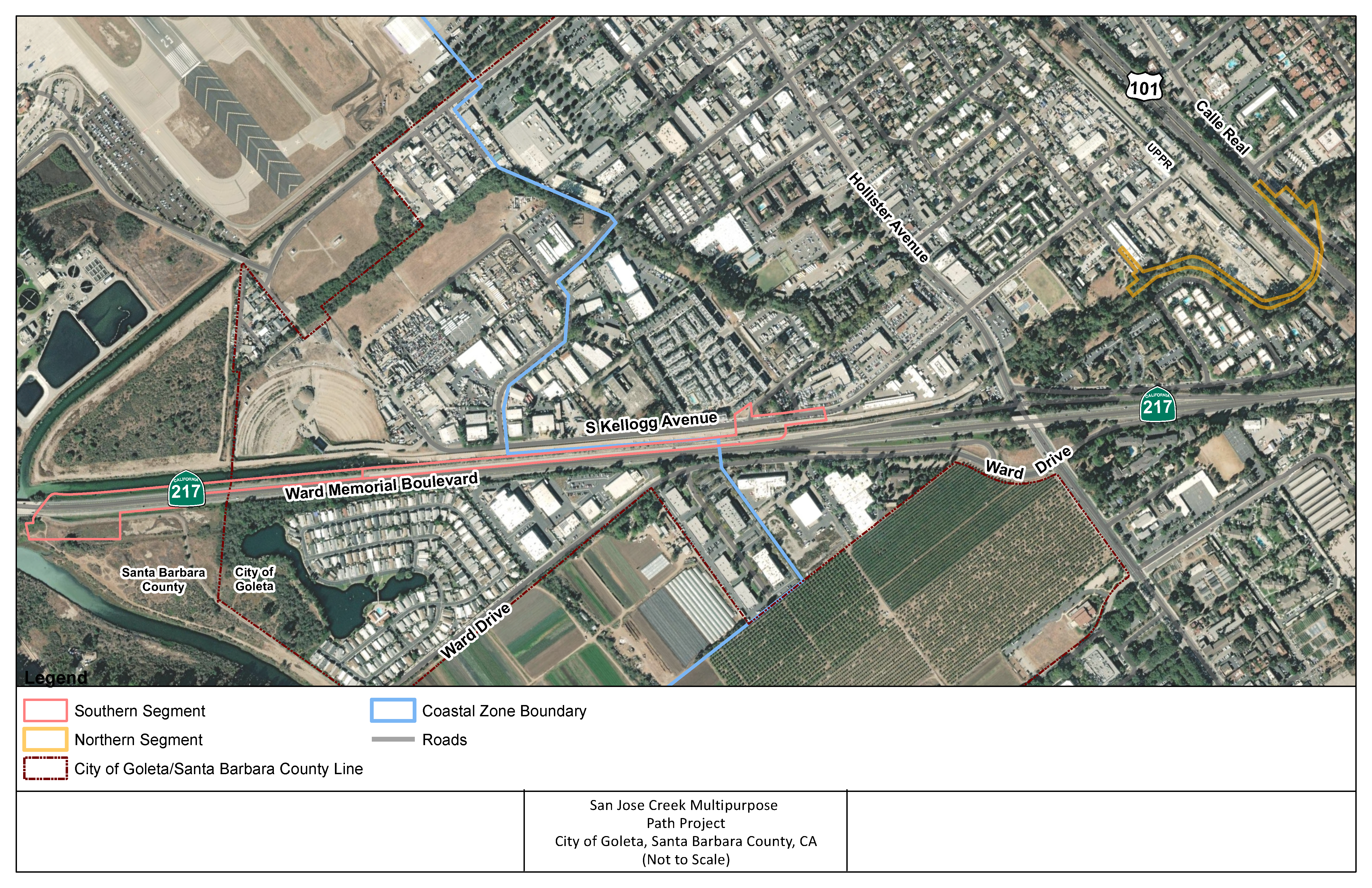
Project location map