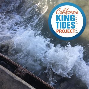
King Tides are the highest high tides of the year, about a foot or two higher than average high tides, which is what we expect to see during the next few decades. The California King Tides Project (a partnership of state and federal agencies and non-profit organizations) helps us visualize future sea level by observing the highest high tides of today and how those tides interact with our coastal infrastructure, recreation areas, and ecosystems.
You can participate in the California King Tides Project by safely taking photos of the King Tides on November 15-16 and December 13-15 and uploading them to the California King Tides Project website; instructions available here.
Understanding what a King Tide looks like today will help us plan for sea level rise in the future and motivate us to stop burning fossil fuels. Sharing your photos and talking about what you’ve noticed helps others understand that they’re part of a community that cares about climate change.
It’s important that we learn about and communicate the impacts of sea level rise so that we can responsibly manage our coast today and in the future. Sea level rise is caused by increasing carbon dioxide in our atmosphere, which acts like a blanket trapping in heat that would otherwise escape. When we burn fossil fuels (such as coal, oil, or natural gas), we add more carbon dioxide, thickening this blanket and warming the planet’s atmosphere and the ocean. Sea level rises as glaciers and ice sheets melt into the ocean and because water expands in volume as it warms.
The photos you take help document current flood risk, visualize the impacts of future sea level rise, ground-truth climate change models, and serve as a living record of change for future generations. The photos may be used in presentations, exhibitions, websites, and publications; for research and planning; and by students and educators learning about our world.
Learn more about the California King Tides Project at www.coastal.ca.gov/kingtides.

